The Wadden Sea (Vadehavet in Danish, Waddenzee in Dutch, Waadsee in Frisian, Wattensee in Low German, Wattenmeer in German) is the name for a body of water and its associated coastal wetlands lying between a section of the coast of northwestern continental Europe and the North Sea.
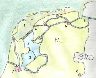
The Wadden Sea stretches from Den Helder in the Netherlands in the southwest, past the river estuaries of Germany to its northern boundary at Skallingen north of Esbjerg in Denmark along a total length of some 500 km and a total area of about 10,000 km².
It is typified by extensive tidal mud flats, deeper tidal trenches and the islands that are contained within this, a region continually contested by land and sea. The landscape had been formed for a great part by storm tides.
The Wadden Sea is famous for the rich fauna, avifauna and flora. Today, a great part of the Wadden Sea is protected in cooperation of all three countries; see Wadden Sea National Parks for the protected areas within the German borders.
The Governments of The Netherlands, Denmark and Germany have been working together since 1978 on the protection and conservation of the Wadden Sea. Co-operation covers management, monitoring and research, as well as political matters. Furthermore, in 1982, a Joint Declaration on the Protection of the Wadden Sea was agreed upon to co-ordinate activities and measures for the protection of the Wadden Sea. In 1997, a Trilateral Wadden Sea Plan was adopted.
Some Frisians practice the traditional sport or recreation of wadlopen, or low-tide sea-walking in the Wadden Sea.
For the islands, see the applicable sections of List of islands of the Netherlands, Frisian Islands and Danish Wadden Sea Islands.
Note that the word "wad" is Dutch for mudflat.
 Lefthit
No comments:
Post a Comment